
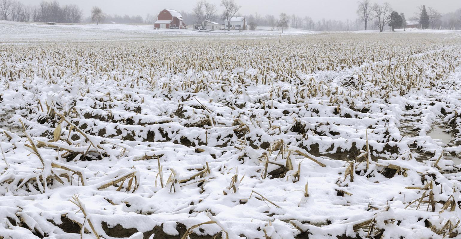
USA: snow to fall in the Corn Belt by Nov. 15 – forecast
After a mostly dry and uneventful weather month for the Corn Belt and Plains, October will finish with a shift to a wet and cold weather pattern.
To end the month, David Tolleris, WxRisk.com, sees rain to cover the eastern Corn Belt (ECB).
“The next big system comes up from Oklahoma and Arkansas, spreading significant rainfall into the eastern Corn Belt. Eastern Iowa and northern Missouri will receive light rain, but the rainstorm moves slowly across the ECB until the end of the week. This will keep cloud cover in place, along with normal to below-normal temperatures,” he says.
While the jet stream pattern has kept October weather on the warmer side for the Midwest, it’s going to change for November.
A significant ridge on the West Coast of North America will bring cold air out of Canada into the Plains, Midwest, and East Coast for the first 15 days of the month.
“For two weeks straight, areas east of I-35 will experience dry conditions, but temperatures will be colder,” Tolleris says.
After that, hold on to your hat, he says.
The weather models are showing a Greenland Block weather pattern. When translated, this means numerous storms for the Midwest.
“Some indications show that there could be a rain or snowstorm on November 5-6. Another storm could hit November 11, 20, and some storms Thanksgiving week. So, this is a very active pattern that we are about to go into and temperatures are expected to be below normal,” Tolleris says.
He added, “There is an increasing chance that somebody in the Midwest will see their first snow of the year before November 15.
“We are entering a sudden turn to a winter pattern. And it looks like it will continue into the month of December, at least.”
While the first Climate Prediction Forecast Center’s winter forecast calls for a less-than-active season, Tolleris disagrees with it wholeheartedly.
“We think that’s a nonsense forecast. It’s hard to describe how much we disagree.”
The South American farmers will be busy planting and watching their crops grow, from now until February.
Tolleris says that for at least the next 30 days, the South American La Niña weather phenomenon will bring Brazilian farmers plenty of rain, while Argentina’s crops will remain dry.
“All of Brazil gets good rains, but several inches of rain will fall in the eastern part of the country. The states of Bahia, Parana, Tocantines, Sao Paulo, and Goias will all get a lot of rain. However, Mato Grosso, the largest soybean-producing state, will receive less rain in that same time frame,” Tolleris says.
For southern Brazil and Argentina, the next 30 days will be really dry, he says.
“Those areas will be 3 to 5 inches of rain below normal, in the next 30 days. This is a very classic La Niña weather pattern in South America,” Tolleris says.
Read also
Wheat in Southern Brazil Impacted by Dry Weather and Frosts
Oilseed Industry. Leaders and Strategies in the Times of a Great Change
Black Sea & Danube Region: Oilseed and Vegoil Markets Within Ongoing Transfor...
Serbia. The drought will cause extremely high losses for farmers this year
2023/24 Safrinha Corn in Brazil 91% Harvested


Got additional questions?
We will be happy to assist!
Write to us
Our manager will contact you soon