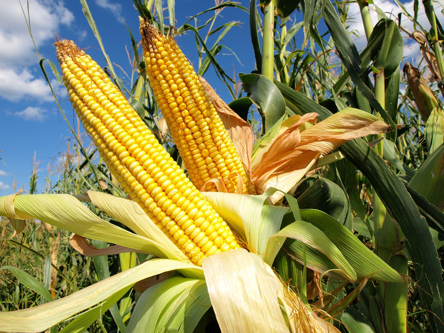
USA: Corn Belt’s crop weather seen ideal through mid-July

Threats appear in second half of July.
For the first half of July, the U.S. crop conditions may improve significantly, if the ideal weather forecasts come to fruition.
David Tolleris, WeatherRisk.com, says the short-term and 15-day outlooks look favorable for Midwestern crops.
“The Fourth of July weekend looks like very nice temperatures and no real serious threat of intense heat at all for all of the Plains and Midwest. And no rain is expected through Sunday,” Tolleris says.
After the pleasant weekend weather, the actual holiday (Monday) could bring rain to the western Corn Belt. Those rains will start Monday night and continue into Tuesday, he says.
“The models show 1- to 2-inch rains in 60% of Iowa, North Dakota, and South Dakota. There is a very large piece of energy that is going to drop out of central Canada and carve out a deep trough across the Midwest from July 6-10. That trough will bring a cold front and rain. And behind that front there will be a blast of cool air. Temperatures will be anywhere from 4°F. to 10°F. below normal,” Tolleris says.
6- TO 10-DAY WEATHER OUTLOOK
This 6- to 10-day forecast differs from many other private forecasts that call for extreme heat through mid-July.
Tolleris says that he’s not sure where that data for a hotter forecast is coming from.
“Not on any of the models, in the last few days, does it show that heat pattern. I’m not sure where they are getting that from. The data is very clear. We are getting these big troughs coming from Canada into the Great Lakes and on down into the eastern Corn Belt. That pattern is keeping the heat over into Idaho, Utah, and Arizona. The extreme heat does not cross the Rockies and certainly not into the western Corn Belt,” Tolleris says.
Tolleris added, “And that’s what we are looking at for the next three weeks in July.”
IDEAL WEATHER
If the Midwest rains hold up for this upcoming Tuesday morning for Iowa, the Dakotas, and Minnesota, it is going to cause a reaction, because a lot of people are expecting all of this heat and it’s just not on the models, Tolleris says.
“Don’t get me wrong, there is a monster heatwave coming for the western U.S. Next week, it’s going to cook in California, Nevada, Idaho, Oregon, Utah, and Arizona. But it doesn’t get any farther east,” Tolleris says.
SECOND HALF THREAT
Some weather models are showing a weather threat to crops for the second half of July.
The last 150 years of data shows that when a weather model known as MJO goes into its phase 4 and 5 stages in July, the western Corn Belt and the Plains go dry.
“This is just a possibility right now. Will we know more on July 5-6? Yes. We will have a better idea then if this MJO-effect is going to happen. But for the crops in the short-term and the way we ended June and what’s up in the next 10 days, I’m not sure how that kind of weather can be a problem,” Tolleris says.
HURRICANE ELSA
In the Navy, when a tropical cyclone does something that it’s not suppose to do, it’s called a pirate, Tolleris says.
“Elsa has become a pirate. It’s intensified quickly and is taking a northern track. So, it will pass over Haiti and Cuba. It may brush by Florida and the eastern side of the Gulf of Mexico. It will then move through Georgia, the Carolinas, and Virginia. People might think that Elsa is going to travel through Alabama and bring rain to the Midwest — that’s not going to happen,” Tolleris says.
Read also
Wheat in Southern Brazil Impacted by Dry Weather and Frosts
Oilseed Industry. Leaders and Strategies in the Times of a Great Change
Black Sea & Danube Region: Oilseed and Vegoil Markets Within Ongoing Transfor...
Serbia. The drought will cause extremely high losses for farmers this year
2023/24 Safrinha Corn in Brazil 91% Harvested
Write to us
Our manager will contact you soon


